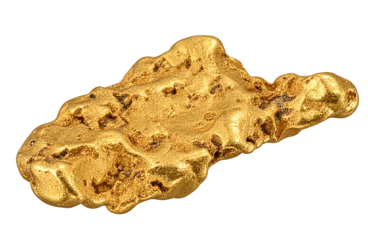
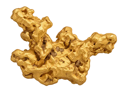
The Golden Triangle is a popular name for a broad mineral district in northwestern British Columbia. It is famous for gold, but many of its projects also involve silver and copper. High mountains, ice, steep valleys and the distance to roads or power all shape exploration. A release from the Triangle might describe a gold-silver vein, a copper-gold porphyry, or mineralization tied to volcanic rocks. Those are not interchangeable. The place is best read as a region with several geological stories rather than a single kind of deposit.

The British Columbia Geological Survey describes the Triangle as a loosely bounded part of west-central Stikinia, an ancient volcanic-arc terrain. Its provincial overview names past producers including Premier, Snip and Eskay Creek and points to a range of deposit types. That government account is a useful check on promotional maps that draw a very neat triangle around a complicated landscape. The boundaries are informal. A project’s exact location, host rocks and structural setting matter more than whether its claim block falls inside a marketing outline.
The older mining chapters
Mineral work in the northwest did not begin with today’s large exploration budgets. Prospectors worked around the Stewart area early in the twentieth century, and the Premier gold-silver discovery near Stewart became a major part of the district’s mining history. Later roads, aircraft, better geophysics and drilling opened other parts of the northwest to sustained work. The Snip, Johnny Mountain and Eskay Creek discoveries helped bring another wave of attention to areas farther north. Different generations of prospectors encountered different technical and transport limits.
Eskay Creek is one of the names frequently used in comparisons. British Columbia’s MINFILE record describes its long sequence of staking, exploration, drilling and mining. Yet a nearby claim is not automatically an Eskay Creek analogue. A deposit formed by one combination of volcanic activity, fluid flow and host rock may sit close to a target with a very different origin. Historic discoveries establish that the region can host valuable mineral systems; they do not make a new discovery on someone else’s ground.
The mountains keep parts of the story hidden and reveal others. Glaciers have carved valleys and exposed fresh rock on steep slopes, but ice, talus and glacial deposits can cover a target. Access may rely on helicopters, temporary camps or a short field season. A program can be limited by weather before a geological hypothesis is fully tested. These conditions help explain why a company may report surface mapping one year and a first drill campaign the next. They also add cost and engineering questions that are separate from the gold grade.
Several kinds of mineralization
Some Triangle projects target porphyry copper-gold systems, where a large volume of altered rock may contain relatively low grades compared with a narrow vein. Others target gold-silver veins or volcanic-related deposits. Even the same headline unit, grams of gold per tonne, can conceal major differences in scale and mine design. A broad interval with copper and gold requires a different reading from a short high-grade gold-silver interval. Look at the individual metals and their reported lengths before accepting a single combined number.
“Gold equivalent” is common in multi-metal releases. It converts the value of silver or copper into an apparent gold amount using assumed prices and sometimes recoveries. It is a comparison tool based on assumptions, not a direct assay of gold. Two companies can calculate different equivalent grades from the same underlying metals if their assumptions differ. The clearest table lists the actual gold, silver and copper values beside any equivalent. If it does not, follow the footnote back to the original results.
Alteration is another frequent term. Mineral-bearing fluids can change the surrounding rock, and geologists may map zones of colour, mineral content or magnetic response as clues to a system. An alteration footprint can extend much farther than ore-grade material. A large altered area is interesting, but it is not a large gold deposit by itself. The next question is where grade occurs within it, whether the best zones repeat and whether drilling has found a coherent geometry.
Working across a steep landscape
Map view can mislead in the Triangle. Two drill collars close together on a flat plan may sit at very different elevations. Holes drilled into a mountainside may cross veins at oblique angles. For a useful result, look for both a plan and a section showing topography, collar elevation, hole orientation and the inferred mineralized zone. A 100-metre interval down a drill hole is not a claim that the body is 100 metres thick. The company should explain its estimate of true width where possible.
Surface samples also need context. Rock exposed by ice or on a slope may be rich in metal, but a selected grab sample cannot represent the average grade of the whole hillside. Soil and stream-sediment surveys may point toward a source, yet material can move downhill or be carried by water and glaciers. The follow-up sequence matters: map the source, test it with systematic sampling, then drill where the geology justifies it. An attractive photograph of rusty rock is not a substitute for that sequence.
Remote logistics can influence a project as much as geology after an initial discovery. Water, energy, waste-rock planning, terrain stability, transport and seasonal access all need serious study. Environmental review and relationships with Indigenous Nations are central parts of any proposed development. Some famous mines in the region had unusual access or processing solutions. A new project must answer its own questions rather than borrow the assumptions of a former operation.
How to follow a Triangle project
Start with its precise position and the deposit type the company is testing. Keep a short list of the reported metals, assay units and equivalent assumptions. Compare sections from successive campaigns to see whether mineralization extends between holes, along strike and at depth. Pay attention to unsampled gaps, lower-grade surroundings and changes in interpretation. A striking interval can be important, but it takes repeatable geometry and much more work to turn one result into a resource and then a mine plan.
For a regional base, read the British Columbia Geological Survey overview and its Golden Triangle circular. The province’s Eskay Creek MINFILE record gives a project-level historical example. These references describe geology and history; present ownership, approvals and drilling should be checked in current filings. The Gold Exploration Guide has a longer explanation of grades and drill intervals.