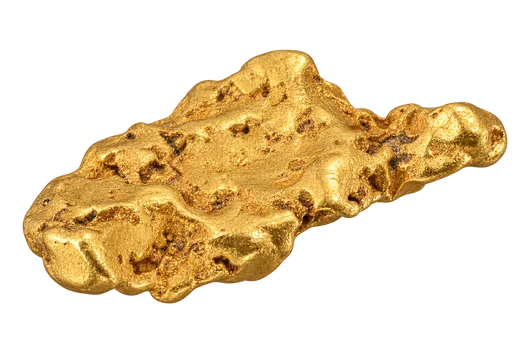
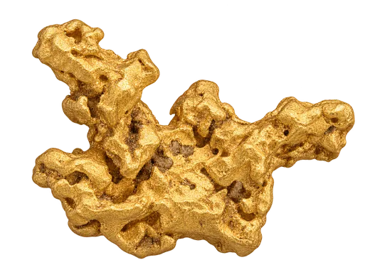
Dryden sits in northwestern Ontario, where lakes, boreal forest and ancient rocks make a distinctive setting for gold exploration. The city is a useful point of reference, but a release that says “Dryden” may describe a target many kilometres away. The historic Gold Rock camp lies south of town, near Upper Manitou Lake. Other prospects occupy different parts of the wider Wabigoon area. A reader should begin with a map, then ask which structure, rock package and particular prospect a company has actually tested.

The region has drawn fresh attention because explorers are drilling historic systems and testing ground between and beyond them. That work is interesting, but a new drill interval does not turn a district into one continuous deposit. The history gives geologists clues; modern mapping, sampling and repeated drilling must show whether those clues lead to a consistent mineralized body.
A camp with a longer history
Ontario’s Mineral Inventory record for Gold Rock places the old camp roughly 35 kilometres south of Dryden. Provincial records for Big Master, Elora and Laurentian preserve accounts of shafts, underground work, sampling and renewed investigations over many decades. They show that people found and worked gold-bearing veins here long before today's announcements.
The record is uneven, as historic mining records often are. A shaft proves workers reached a particular vein; it does not tell us the grade of every neighbouring zone. Old names can refer to a mine, a vein, a claim group or a wider camp, and those boundaries changed. Coordinates, sample methods and assay checks may differ from current practice. When a company describes a historic result, look for its source, whether the location has been confirmed and whether new samples independently support the interpretation.
The camp’s story should not start or end with prospectors. The land and waters around Dryden have long been part of Indigenous lives and travel routes. Mining records emphasize claims and workings, while present exploration also involves communities, land use, rights and environmental decisions. These are part of understanding the district, even when a press release concentrates on assays.
The Wabigoon rocks
The wider area lies within the ancient Wabigoon Subprovince of the Superior Province. Ontario describes the Eagle–Wabigoon–Manitou lakes greenstone belt as a complex landscape of volcanic rocks, intrusions, folding and shearing. These rock packages were formed and reshaped over immense spans of time. Fractures and shear zones can provide paths for gold-bearing fluids, but a mapped structure by itself is not an assay result.
In an outcrop or core tray, a geologist may look for quartz veins, sulphide minerals, altered host rock and changes in the direction or thickness of a shear. These observations matter because the same vein can widen, narrow, bend or split. A promising point at surface must be connected with evidence at depth and along strike. Nearby holes can change the interpretation, especially where several generations of veins cut one another.
Glacial material and shallow cover complicate the map. A patch of soil or till may hide bedrock, and gold found in glacial sediment may have moved from its original source. A magnetic survey can trace contrasts in rock units or structures; it does not measure gold directly. Geologists combine the regional interpretation with mapped exposures, geochemistry and drilling to narrow a large area into testable targets. A line on a district-scale map is a hypothesis until the ground beneath it is checked.
Why explorers are watching Dryden
Recent activity has put the Gold Rock system and outlying targets back into the news. In a June 2026 company update, Dryden Gold described planned district work at Gold Rock, Mud Lake, Hyndman, Sherridon and Selby, using drilling alongside field and till programs. These are the company's target names and exploration plans, not proof that mineralization connects them. Program size, ownership and schedules can change, so open the latest original release for the current position.
Ontario’s Kenora district activity listing is another way to see which projects have reported work in the area. It is an activity index rather than an independent endorsement of a resource. Read the underlying filings and company releases before relying on a grade, ownership statement or development schedule.
The wider Dryden name also covers projects with different geology and work histories. Do not transfer a result from Gold Rock to an outlying prospect simply because both appear in the same regional presentation. Ask whether the target lies on a mapped extension of a tested structure, a separate fault, a different rock unit or an untested geophysical feature. A district can hold more than one style of mineralization, and the distance between targets matters.
Reading a Gold Rock drill result
A headline often leads with grams of gold per tonne over a reported length. That length is usually measured along the drill hole. If the hole crosses a narrow vein at a shallow angle, the reported interval can be longer than the vein’s true thickness. Look for an estimated true width, the hole’s orientation and a section showing the vein and drill path. Where the geometry is still uncertain, the honest answer may be that true width has not yet been established.
Separate the full interval from a richer interval included within it. One very high assay can lift the average, particularly where coarse gold is unevenly distributed. A reader should check the full assay table, the reported cut-off, core recovery and how the laboratory handled visible or coarse gold. Standards, blanks and duplicates help test the reliability of the assay process. They do not, by themselves, show how far a mineralized zone extends.
The next holes are often more informative than the first striking number. Step-outs test whether a zone continues along strike or down dip; infill holes test the spaces between known intersections. A hole that misses the expected position can limit the proposed shape of a vein. Watch for maps that show all holes, including the ones without a headline interval. A resource estimate needs a much denser and more coherent body of evidence than one isolated intercept.
Comparing old work with new work
Historic workings can guide a drill program, but they need careful translation into today's coordinate system and geological model. A company may relog stored core, resurvey an old collar or test below a former mine level. Each step answers a different question. Relogging can improve the interpretation of old rock; a new assay can verify a sample; a new hole can test the model in a new location. None of these steps should be treated as interchangeable.
Check whether a news item refers to a historic estimate, an exploration target or a current mineral resource prepared under current reporting rules. A historic number may explain why a company returned to a property, but it is not automatically a present resource. Also separate a company's planned metres of drilling from completed holes and from assays received. A program announcement is a schedule of intentions; a results release contains measured evidence and its own limitations.
The provincial abandoned-mine entry for Big Master records physical workings. Such places carry access and safety issues and are not field attractions for casual visitors. Public maps and records are safer starting points for learning than attempting to inspect an old shaft. Access permissions and exploration permits also need to be understood separately from geological promise.
What to watch next
For Dryden news, follow a sequence rather than a single grade. First, locate the target on a map with a scale. Then compare its host rock and structure with the historic workings used as a reference. Read the sampling method, drill table, section and quality-control notes. On later releases, compare the new holes with the earlier ones to see whether the picture becomes clearer or more complicated.
Across the wider district, note when a project moves from regional soil or till clues to trenching and then to drilling. A till anomaly can point toward a source, but glacial transport means the source may not sit directly beneath the sample. A trench exposes a limited slice of bedrock. A drill hole tests a three-dimensional position. The evidence becomes stronger when independent methods and repeated holes tell a consistent story.
Dryden's appeal is the combination of documented old camps, structural questions and room for modern tests. Its limits are just as important: separate prospects remain separate until connected by evidence, and even a convincing geological model is only one step toward a viable mine. Use the Gold Exploration Guide for assays, true widths and resource terms, and return to the original release for every new claim. The region's history gives context; the results must stand on their own.